
I didn't start out to chart the skies; it's just no one had done it before.
Elrey B. Jeppesen
Unarmed with tools today's pilots consider essential for flight, the early airmail pilots learned and shared as they went. Pilots shared information on everything from the peculiarities of a particular aircraft to the best route between two fields. Maps given to these pilots had been made for ground transportation. If a pilot was lucky, elevations might be noted.
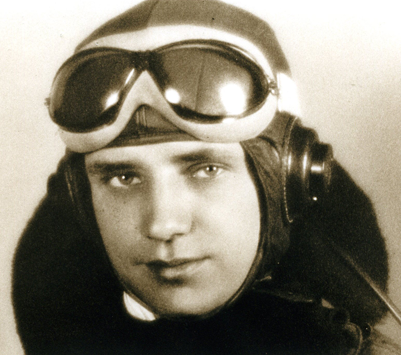
Although Elray B. Jeppesen never flew as a pilot for the Post Office Department, he and other early contract fliers shared similar concerns and complaints. At a time when the best information between two field were written directions provided by the postal service, Jeppesen decided to make his own flight maps. He bought a little 10-cent black notebook, and in 1930, he began to compile information on terrain, landing field details and the phone numbers of farmers who could provide weather reports.
As soon as other pilots heard about the book, they clamored for copies. By 1934, the book business was lucrative and he began selling his "Airway Manuals." Jeppesen couldn't be kept out of the cockpit. He continued to fly for United Air Lines until 1954. When he retired from flying, he kept selling his charts. The business he began thrived and continues to grow today. In 1961, Jeppesen's chart company was sold to Times-Mirror. Owners of the Denver International Airport recognized his contribution by naming their terminal in his honor.